Off we go to an epic hiking adventure to the Devil’s Bridge, one of the stunning trail-gems in Arizona.
Last updated: March 25, 2025
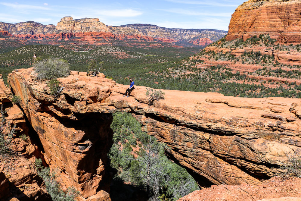
Hiking in Sedona
They say you can’t visit Sedona, Arizona, without checking out its scenic hiking trails. I can’t disagree with it. The immediate surroundings of Sedona, a desert town near Flagstaff, is intersected with dramatic pathways of all lengths and difficulty levels.
From the popular Cathedral Rock Trail to the easy Bell Rock hike, the area offers many ways to test your endurance and athleticism. Our time in Sedona was limited. So we focused only on one hike that led us to a massive arch rock, known as Arizona’s Devil’s Bridge.
Devil’s Bridge Trail Facts
- Distance: 4.6 miles, round trip (2 miles, round trip, with 4WD vehicle)
- Difficulty: Moderate
- Elevation gain: 500 feet
- Time: 1-3 hours
- Trailhead: West Sedona
- Parking: Park at the Dry Creek Vista trailhead at the end of the paved section of Dry Creek Road
Things to Know before Hiking the Devil’s Bridge Trail
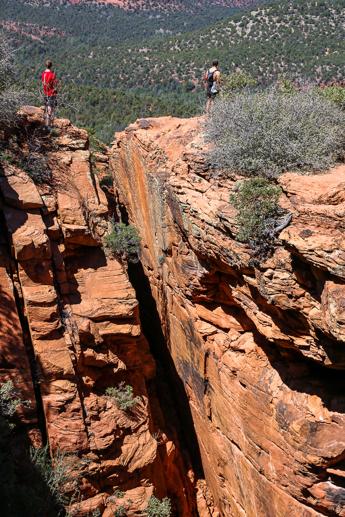
Trail Conditions. Once a hidden gem of Arizona, the Devil’s Bridge is one of the most popular hiking trails in the area. The hike entices with gorgeous scenery of Red Rock Country and is rated as moderate. Yet some sections of the trail, the closest to the natural arch bridge, are steep. So use extra caution here.
Dogs. The Devil’s Bridge Trail is accessible all year long. You can also hike with your dogs, but must keep them on leash.
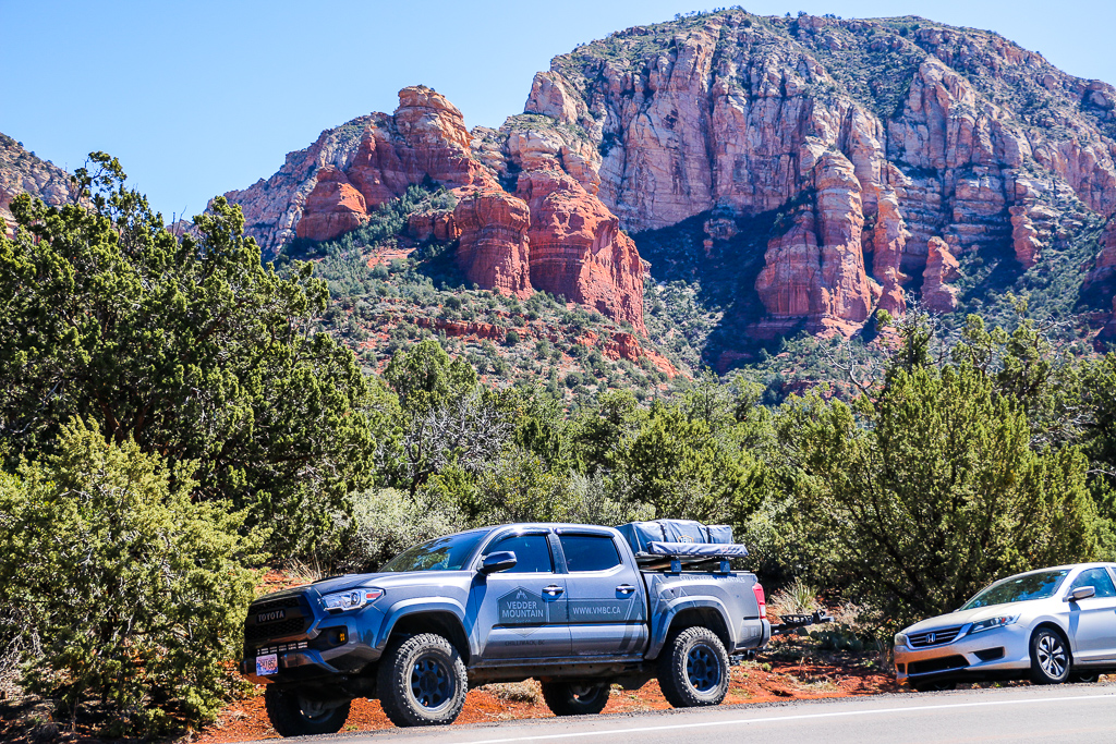
Parking. The place has a rather spacious parking lot. But the amount of people hiking to the Devil’s Bridge on a daily basis normally exceeds the number of parking spaces. Late birds need to look for a spot to park her car along the side of the road.
When not to Visit. On weekends, the place typically gets extremely busy. You may be forced to park so far away that the walk to the trailhead (Dry Creek Vista trailhead) can add a substantial distance to your entire Devil’s Bridge hike.
Hiking Essentials. Hiking the Devil’s Bridge Trail back to the parking lot is easier as you mostly go down. Parking here is free. Yet since it’s a long hike, make sure to smear your face with a good amount of sunscreen and grab a bottle or two of water.
On the Trail
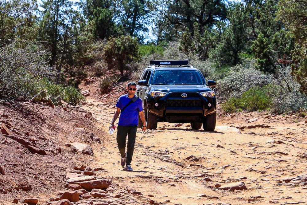
The Devil’s Bridge Trail starts off the Dry Creek Road trailhead. You can cover almost half of this trail in a high clearance vehicle. Users of low clearance cars must walk an additional 1.3 miles, one way, before reaching a trail intersection.
Here the Devil’s Bridge Trail turns to the right and gets narrower and steeper. After this point, no vehicles are allowed on the path. Hiking also becomes more challenging. The path steadily ascends until it reaches the base of the bridge.
From here, you need to take a natural rock staircase, so narrow that only one person can go through. So expect delays as people hiking in opposite directions wait for one group to get up before starting descending and vice versa.
The moderate difficulty of the Devil’s Bridge Trail is compensated by its gorgeous scenery. The deeper you go, the narrower is the distance between Sedona’s red rock walls. At some point, you can even feel like you can walk and touch the rock formations. This visual proximity, however, is far from being accurate. There is still a long way to hike before you can reach those breathtaking mountainsides.
At the Devil’s Bridge
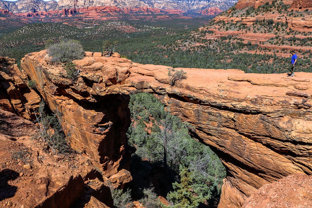
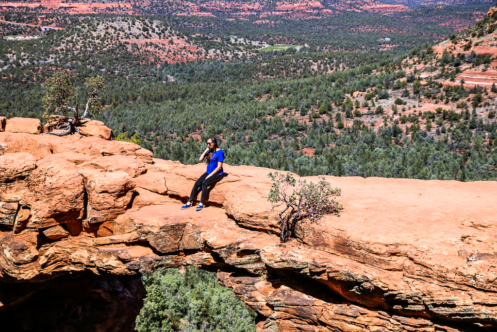
The pinnacle of the hike is the Devil’s Bridge, the largest natural sandstone arch in the Sedona area. The famous formation gets thinner toward the middle to create a dramatic archway that gave name to the place.
Photography Tip: Hikers normally line up at the entrance to the top of the sandstone to celebrate their successful hike with a series of photos. Make sure somebody with a phone or camera is left behind, at the rocks across from the Devil’s Bridge to take that epic shot of you on the bridge.
More Hikes in Arizona
- WATERFALL HIKE: How to Visit Sycamore Falls, Arizona
- SLOT CANYON HIKE: How to Hike Cathedral Wash Trail, Arizona
- NATURAL WONDER IN PAGE: How to Visit Horseshoe Bend, Arizona
- ANTELOPE CANYON TOUR: A Complete Guide to Visiting Antelope Canyon