Two (2) days in Death Valley National Park may be just enough time to explore its timeless natural wonders. During specific times of the year, however, two days in Death Valley is more than one can handle.
Last updated: March 25, 2025
When Not to Visit Death Valley National Park
We were not in a rush to revisit Death Valley National Park. It would be our second time exploring its ageless jewels created entirely or in collaboration with violent desert winds.
After our first trip to Death Valley National Park a few years ago, we knew what we didn’t want to do in the area. To be precise, we knew when we didn’t want to and would never dare to visit Death Valley again.
Our summer trip to the Mojave Desert had been short. Too short to recognize how colorful and exceptional the park was. The area was also too hot. Death Valley’s scorching weather that almost gave us heat stroke compressed our day-long trip into a 5-minute exhausting journey.
The experience was distressing to say the least. To that extent that some 5 years later, the memories of this blistering heat kept us hesitant to plan a new Death Valley adventure.
READ MORE: The 7 Most Fascinating Things about Death Valley You Didn’t Know
How to Spend 2 Days in Death Valley National Park
We promised ourselves to never again visit Death Valley National Park in the summer. But as the winter came and went, the draft of our 2-day Death Valley itinerary that I had compiled quickly in an attempt to actualize the trip remained unaltered. With March just around the corner, less and less time was left to put off the journey. It was now or next year.
When all the time reserves were exhausted, on the last Thursday of the winter, we caught an evening flight to Las Vegas. Our 2-day trip to Death Valley National Park was to start the following day.
How to Get to Death Valley National Park: Driving or Flying?
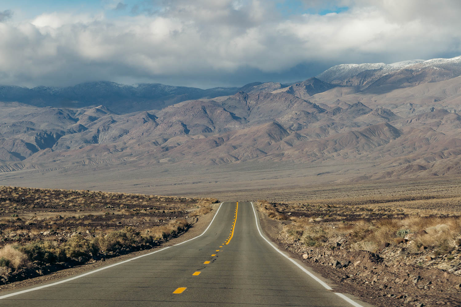
Our initial plan was to drive from Los Angeles all the way to Death Valley, which was approximately a 6-hour drive one way. We intended to leave LA before dawn and hit our first destination in the national park by noon, the latest. Considering scarcity of the roads and how far Death Valley’s landmarks were stretched from each other, we anticipated additional 2-3 hours of driving within the park.
On the other hand, Las Vegas sat roughly 2 hours from Zabriskie Point, one of a few destinations we aspired to see in Death Valley during the first day. Roshan calculated that it would be more time conserving to fly to Vegas than to drive all the way to Death Valley.
Both of us, however, failed to take into account the busyness at Harry Reid International Airport. By the time we landed, got our rental car, and left for our hotel, more than an hour added up to our trip, which was already nearing an almost 3-hour point.
To make things worse, we stayed at Luxor Hotel & Casino. On Thursday night, the place was packed. Snaking across a large lobby, the line at the reception desk was longer than a queue at the airport security checkpoint.
Roshan managed to check in online, saving us the rest of the evening.
Alternative Way to Get to Death Valley National Park
Flying into Las Vegas the day before venturing to Death Valley National Park turned out to be a big mistake on our part. It’s certainly an optimal itinerary for those who fly from different states or overseas.
For travelers from Southern California like us, it didn’t save neither time nor money. We should’ve stuck to our original plan, with a few modifications: driving about 3-4 hours the first day, spending a night somewhere near Death Valley, and covering the rest of the journey (1-2 hours) the next morning.
After our hectic time in Las Vegas, we unanimously agreed that this 2-3 day Death Valley itinerary would be a far better option.
HOW TO SPEND TWO DAYS IN DEATH VALLEY NATIONAL PARK
Death Valley National Park Itinerary: Day 1
Stop 1: Twenty Mule Team Canyon
Many things that we wanted to do in Death Valley National Park during these two days didn’t go as planned. Seasonal road closures, dust storms tearing across the desert valley, a highway closed for repairs, and an enormous lake in the heart of the driest place in North America… The latter, however, might just have been both the greatest annoyance, since it covered iconic mud cracks in Badwater Basin, and the most resplendent view in the park.
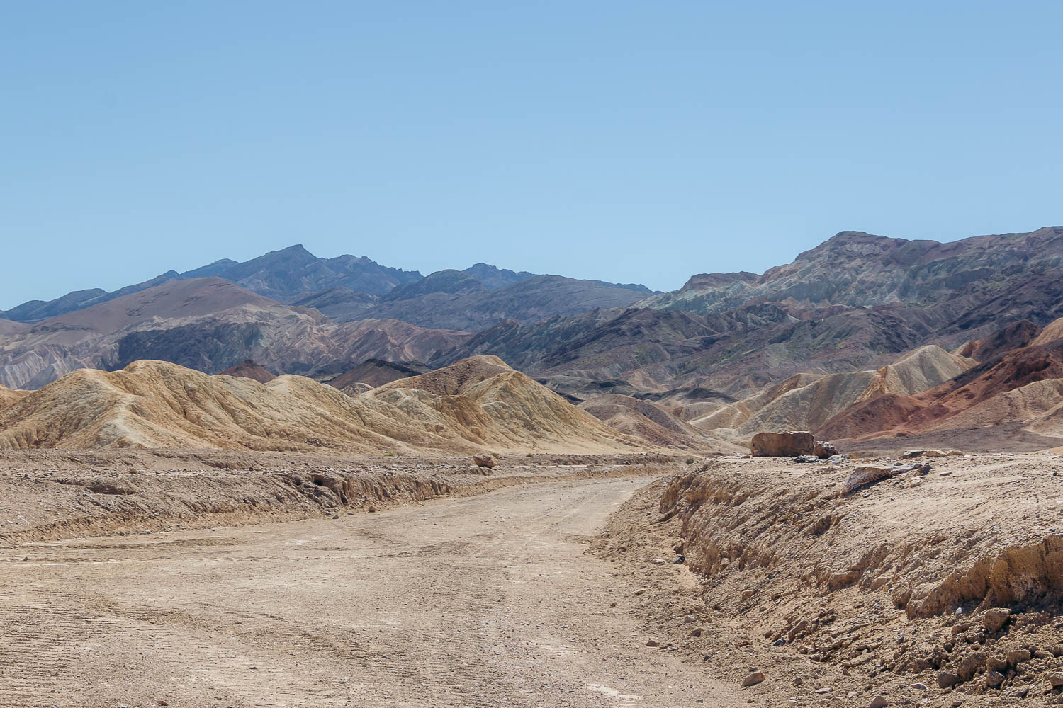
A dirt road through Twenty Mule Team Canyon was also closed. Nestled east of Zabriskie Point off CA-190, this scenic, one-way drive is short, only 2.5 miles, when opened. It’s famous for its vibrant badlands and as a filming location of Star Wars: Return of the Jedi.
Since we had no clue of the upcoming dust storm yet, we gave the area a chance to amaze us and hiked inside the canyon. Vibrant, with exquisite curves and caves, our first destination in Death Valley promised an exciting day, full of colorful sites and captivating vantage points.
Stop 2: Zabriskie Point
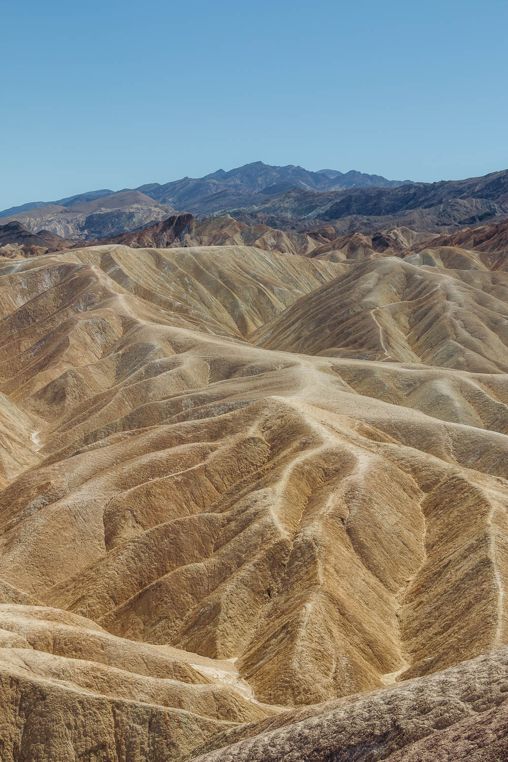
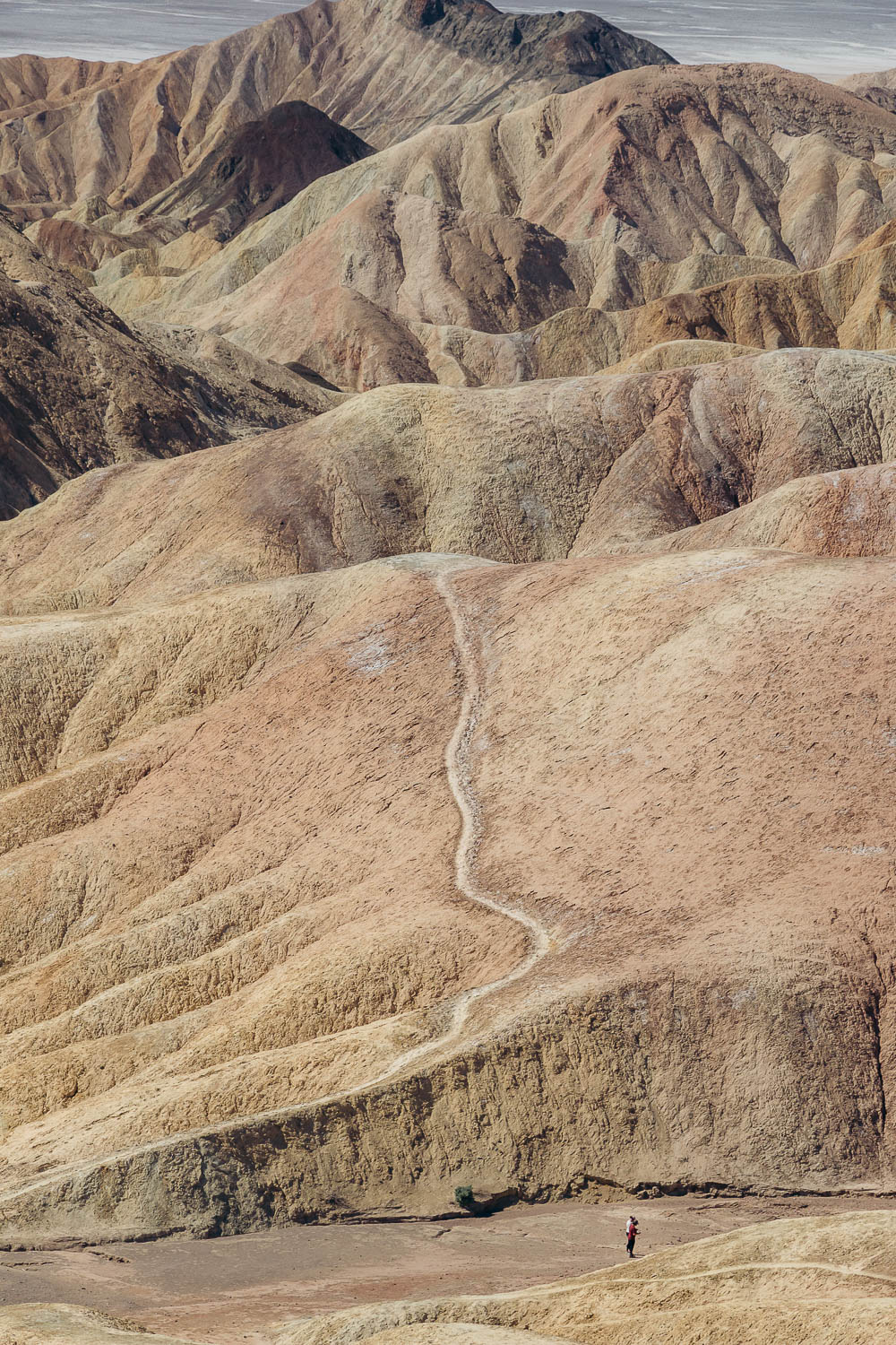
One mile west of Twenty Mule Team Canyon is Zabriskie Point. One of the two most sought-after overlooks in Death Valley (Dante’s View being the second one), it towers over badlands with yellow and brown peaks. Beyond the pointed hills, salt flats pave the path to the distant Panamint Mountains.
Zabriskie Point was named after Christian Zabriskie, a vice president and general manager of the Pacific Coast Borax Company. The iconic overlook sits at the end of the 1/4-mile paved trail, making it one of the easiest places to see in Death Valley in one day.
A longer trail, the Badlands Loop Trail, also starts at the Zabriskie Point parking lot. Meandering around and across the hills, it takes the hikers to Gower Gulch and back to Zabriskie Point. The entire hike is 2.7 miles long.
Stop 3: Golden Canyon
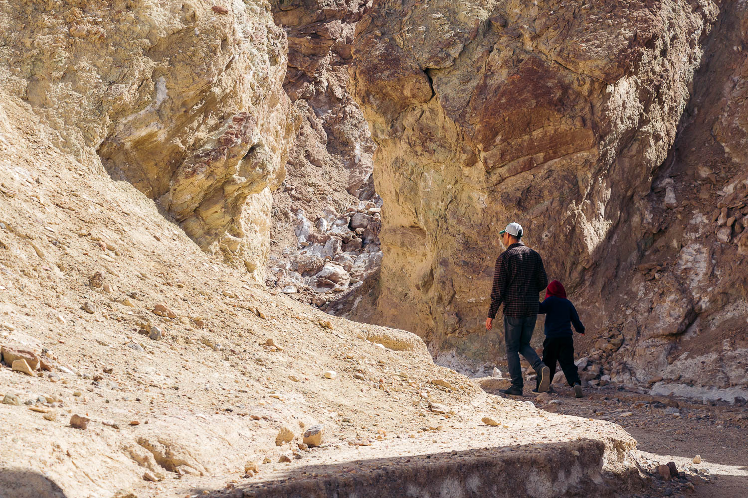
We skipped the Zabriskie Point-Gower Gulch Trail and instead started our hiking day in Death Valley at another scenic canyon. As the wind intensified by this time, the easy trail through Golden Canyon allowed us to stretch our legs and sheltered us from the desert gusts.
A few trails fork from the main path that starts at the Golden Canyon parking lot. One of the easiest and family-friendliest trails is Golden Canyon to Red Cathedral. The trail is 3 miles long, out and back, and has relatively few obstacles.
The longer trails include the Badlands Loop, the Gower Gulch Loop, and the Complete Circuit Trail.
Stop 4: Artists Palette and Artists Drive
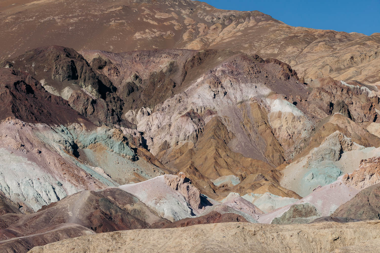
Located roughly 10 miles farther north along Badwater Road, Artists Palette was the finest, multicolored landmark we saw in Death Valley during the first day of our trip.
The vibrant hills are nestled along the 9-mile Artists Drive Scenic Loop. No maintained trails exist in the area. Yet a number of well-trodden paths zigzag along the hills and into the rainbow mountain sides.
Stop 5: Devil’s Golf Course
A large open valley, unobstructed by any desert trees or shrubs, the Devil’s Golf Course received its name in the 1930s. One travel guidebook mentioned that “only the devil could play golf on such a surface.”
Indeed, the rugged basin of Death Valley with rocks and intricate salt formations can be anything but a proper golf course. Located a few feet above Badwater Basin, another must-visit destination in Death Valley we planned to see later that day, the Devil’s Golf Course is normally dry, hot, and windy. But it was quite the opposite of this during our two-day trip to Death Valley.
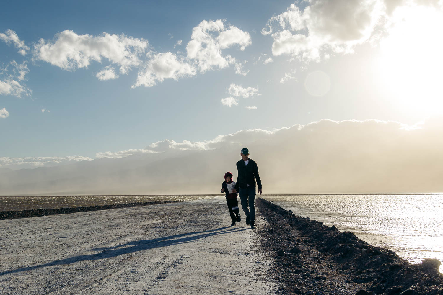
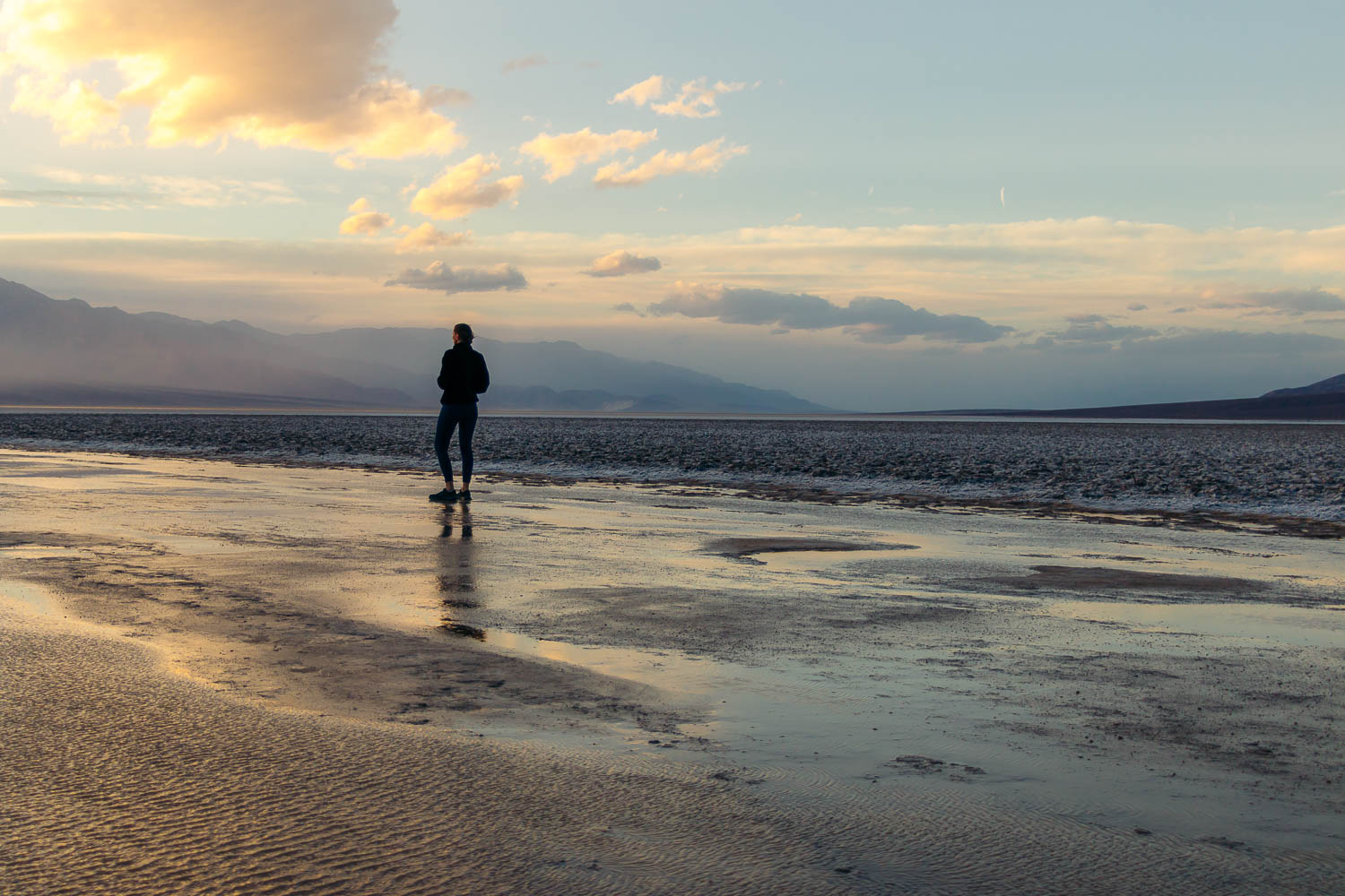
As we walked along a dirt road that ran across the Devil’s Golf Course, the Mojave Desert allured us not with the distinctive salt formations but a golden light of the descending sun illuminating Lake Manly.
Stop 6: Badwater Basin
Lake Manly, an ancient, ephemeral lake that reappears in Death Valley National Park after heavy rainfalls, extended all the way to Badwater Basin. Set at 282 feet below sea level, the lowest point in the United States normally boasts curious patterns of the mud dried and cracked under the blistering sun of the desert.
During our 2-day road trip to Death Valley, the iconic mud and salt polygons stowed away under the nearly foot-deep temporary lake.
Stop 7: Natural Bridge
Due to the lack of time, we had to skip the last hike on our first-day Death Valley itinerary. Natural Bridge is an easy, short (1-mile, round-trip) hike for families. It starts at the end of the unpaved Natural Bridge Road and runs toward a jagged rocky deposit that towers above your head like a bridge.
Where to Stay in Death Valley
Furnace Creek, located about 17.7 miles northeast of Badwater Basin, is the main social hub in the Death Valley area. You can find rare places to stay and eat here (the Mojave Desert doesn’t spoil you with many).
If you manage to secure a room in one of the places offered in the area, consider yourself lucky. The lodgings, however, are at the higher end of the price spectrum. But the location is central. You can resume your adventures in Death Valley National Park first thing the next day.
The hotels were fully booked during our early spring trip. And so were some other places in small hamlets in the California side of the park. We drove nearly 44 miles northeast to Beatty, Nevada, and called it a day at one of Tiny Home Living airbnbs.
As the name suggests, the place was compact, literally just beds and a small kitchen, not even a table to sit at and enjoy your meal. But overall it was comfortable and could fit quite many people.
Death Valley National Park Itinerary: Day 2
Stop 1: Ubehebe Crater
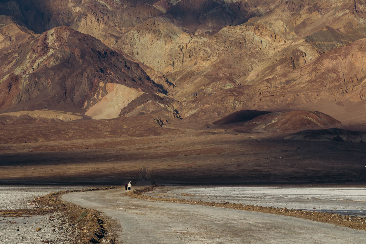
We enjoyed fewer landmarks and hit just a few short trails during our second day in Death Valley. The intensified dust storm was to blame for. As if having their own urgent missions, the dust and sand moved rapidly, hovering in the wide open spaces, and often obscuring the entire views. Mentally and physically, we were prepared to skip most of the sightseeing except for Ubehebe Crater.
Nestled nearly 56 miles northwest of Furnace Creek, the volcanic crater was the longest sidetrack we’d done in two days while exploring the wondrous sites of Death Valley.
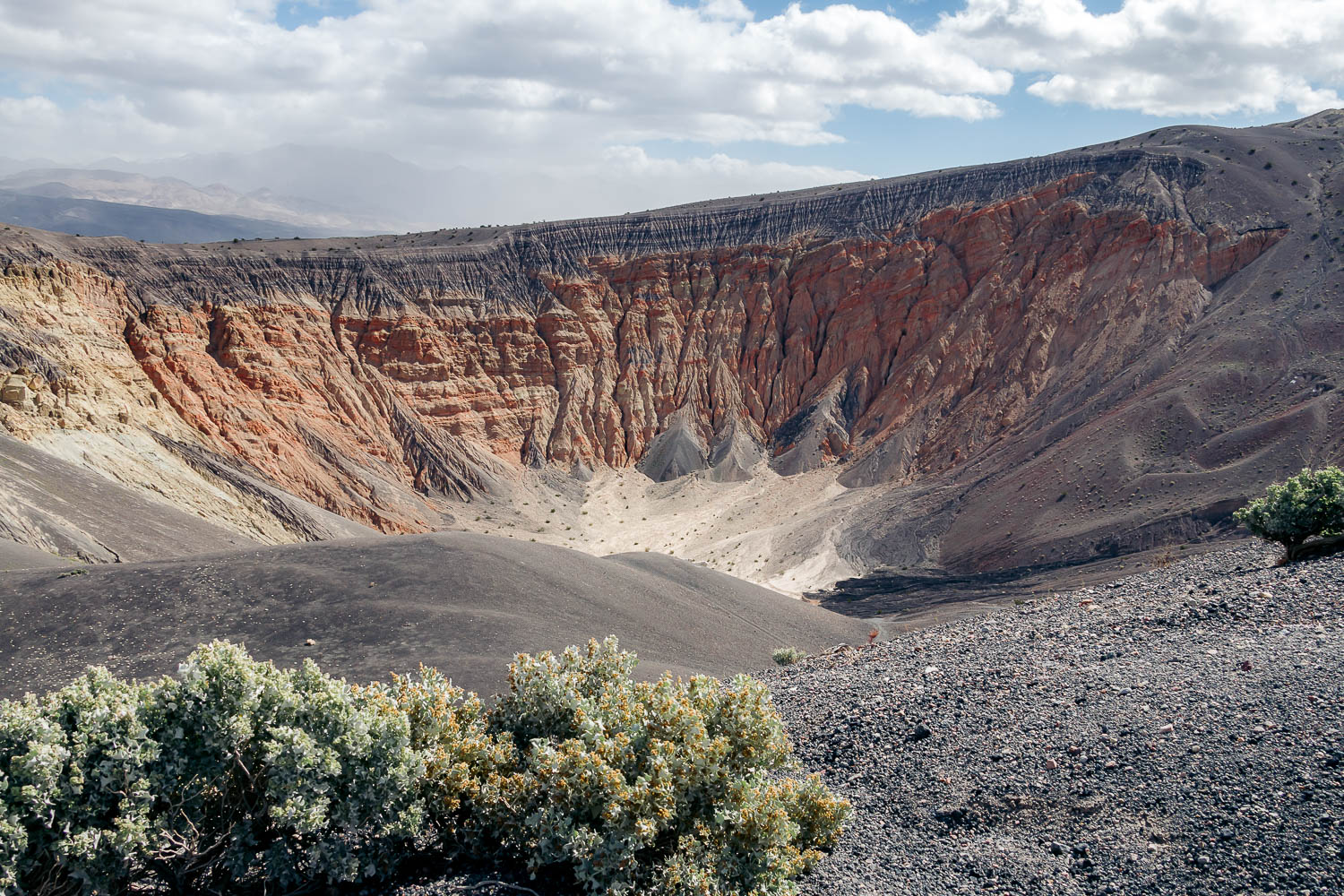
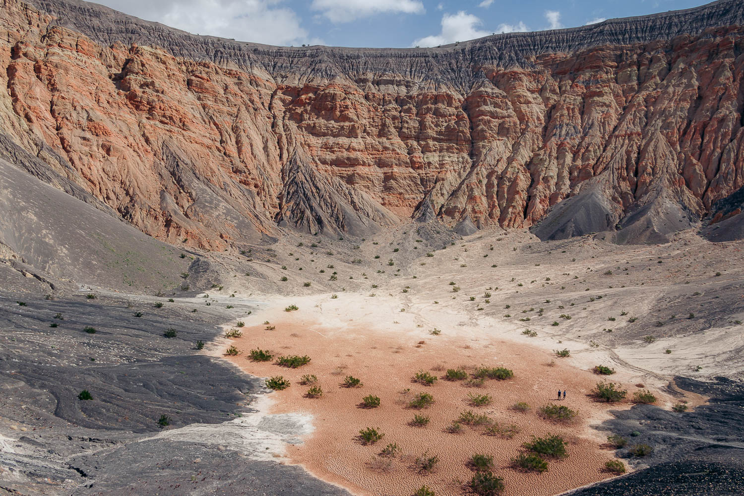
The 600-feet deep Ubehebe Crater sits in front of a small parking lot that on that Saturday morning was packed. Surrounded by a black-ish rim with one well-noticeable and several almost invisible paths into the deep, orange abyss, the place looked ethereal.
Despite the imposing look, the hike down into the crater was a piece of cake. Walking back along a steep, 0.5-mile incline was the hardest thing we’d done in Death Valley up to that point. Alternatively, you could hike along the caldera rim for a chance to see Little Hebe Crater. The trail was nearly 1.5 miles long.
Stop 2: Mesquite Flat Sand Dunes
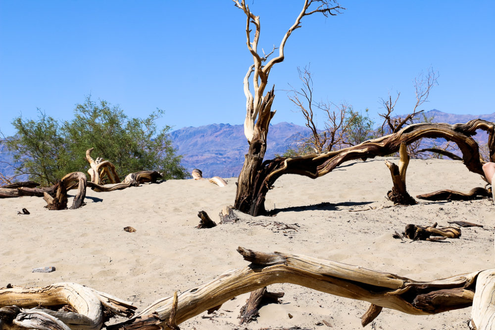
We had visited the Mesquite Flat Sand Dunes before. So this time around, the white piles of sand created by the ferocious twists of the wind and protected by the surrounding mountains from being blown away slipped off our Death Valley itinerary.
Yet we recognized the massive sandy hills sporadically dotted with mesquite trees instantly as we were driving past them. Some of our most unforgettable travel moments happened on these desert dunes.
Feeling a bit nostalgic, we pulled into a small parking lot. Here in the wide open desert, some thing never changed. Just like several years ago, the Mesquite Sand Dunes overwhelmed us with the uncontrollable forces of nature again. First scorching heat, now the savage wind forced us to retreat to the car as quickly as possible. Maybe one day this part of Death Valley would welcome us with pleasant weather. But it wasn’t going to happen that early spring afternoon.
TIP: The Mesquite Flat Sand Dunes in Death Valley don’t have official trails. You can walk as far and as long as you can, building our own trail. But be careful. The sand dunes are home to many small animals, including sidewinder rattlesnakes. So watch your steps and never dare to “check out” any burrows.
Stop 3: Mosaic Canyon
If we thought the weather was noncooperative the first day, Death Valley bestowed on us its full ferocity and unpredictability the following day. So we eagerly skipped the next two hikes and stopped at Father Crowley Vista Point before leaving the park.
The Mosaic Canyon hike is one of the most challenging things to do on this Death Valley itinerary. The trail is only 2 miles long (4 miles round trip). Parts of the canyon, however, are narrow with large boulders that seem impossible to scramble over.
Stop 4: Darwin Falls
Darwin Falls is one of a few year-round waterfalls in Death Valley National Park. The 18-foot waterfall sits at the end of a 1-mile (2-mile, round-trip) unmaintained trail. The hike is considered moderate and takes 1.5-2 hours to complete.
TIP: Veering off CA-190, Darwin Falls Road may be rocky. A high clearance vehicle is required. Some Death Valley day visitors, however, insist that the road may also be suitable for sedans.
Stop 5: Father Crowley Vista Point
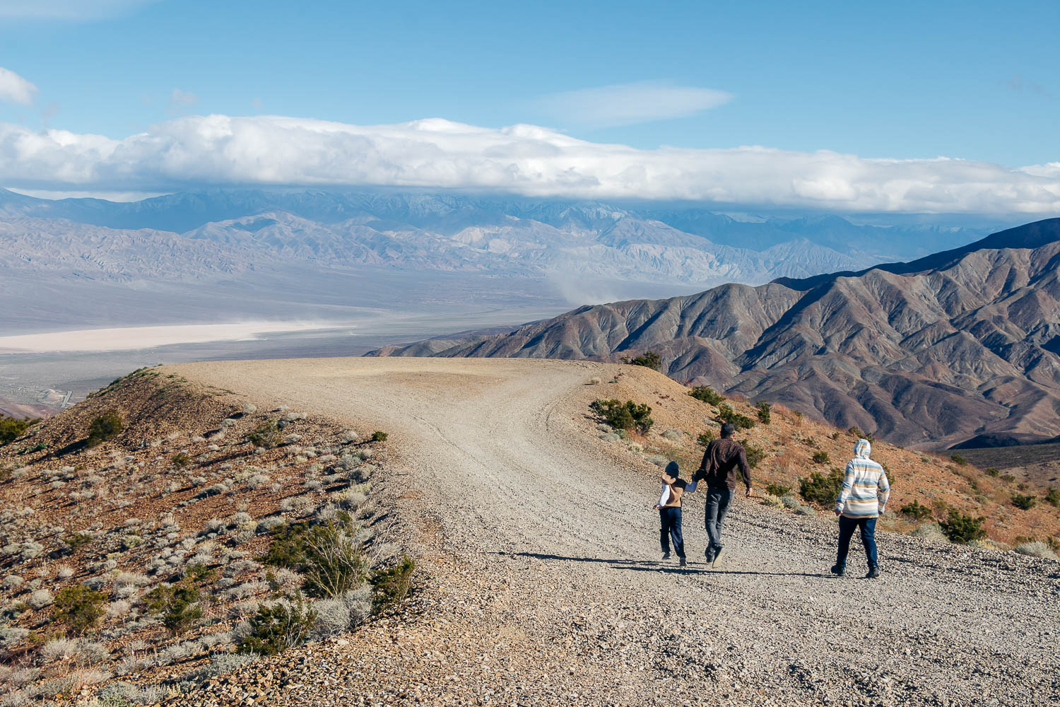
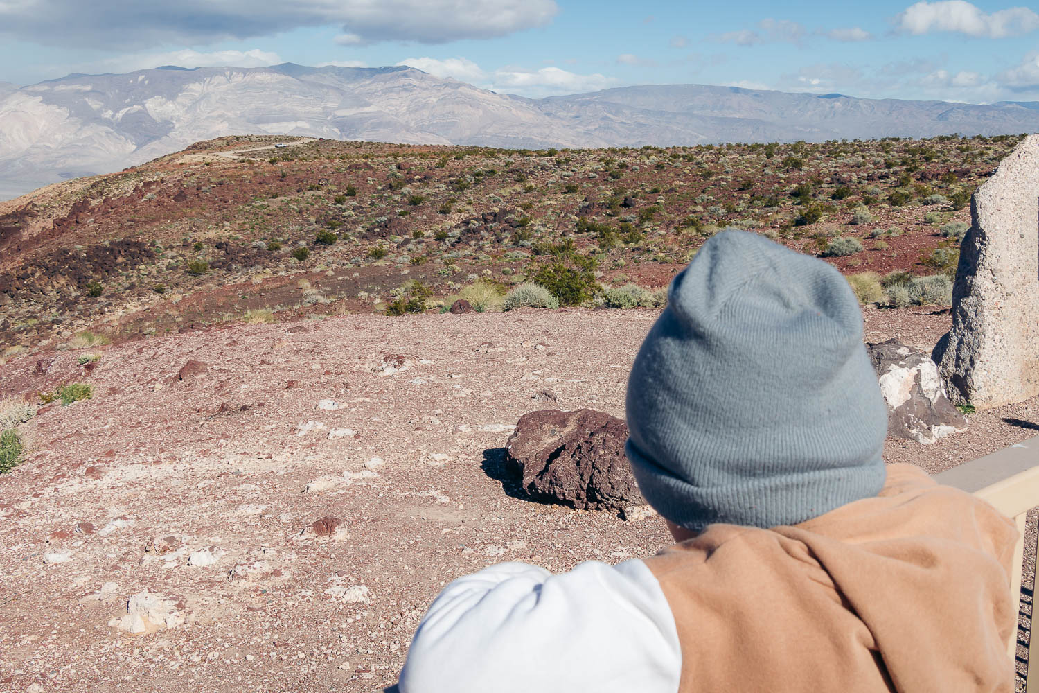
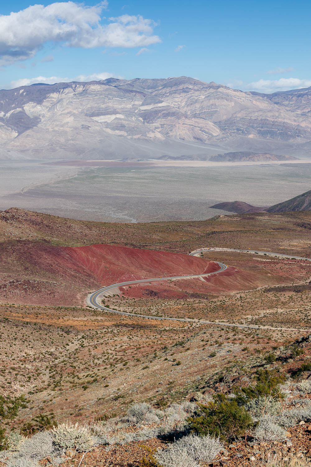
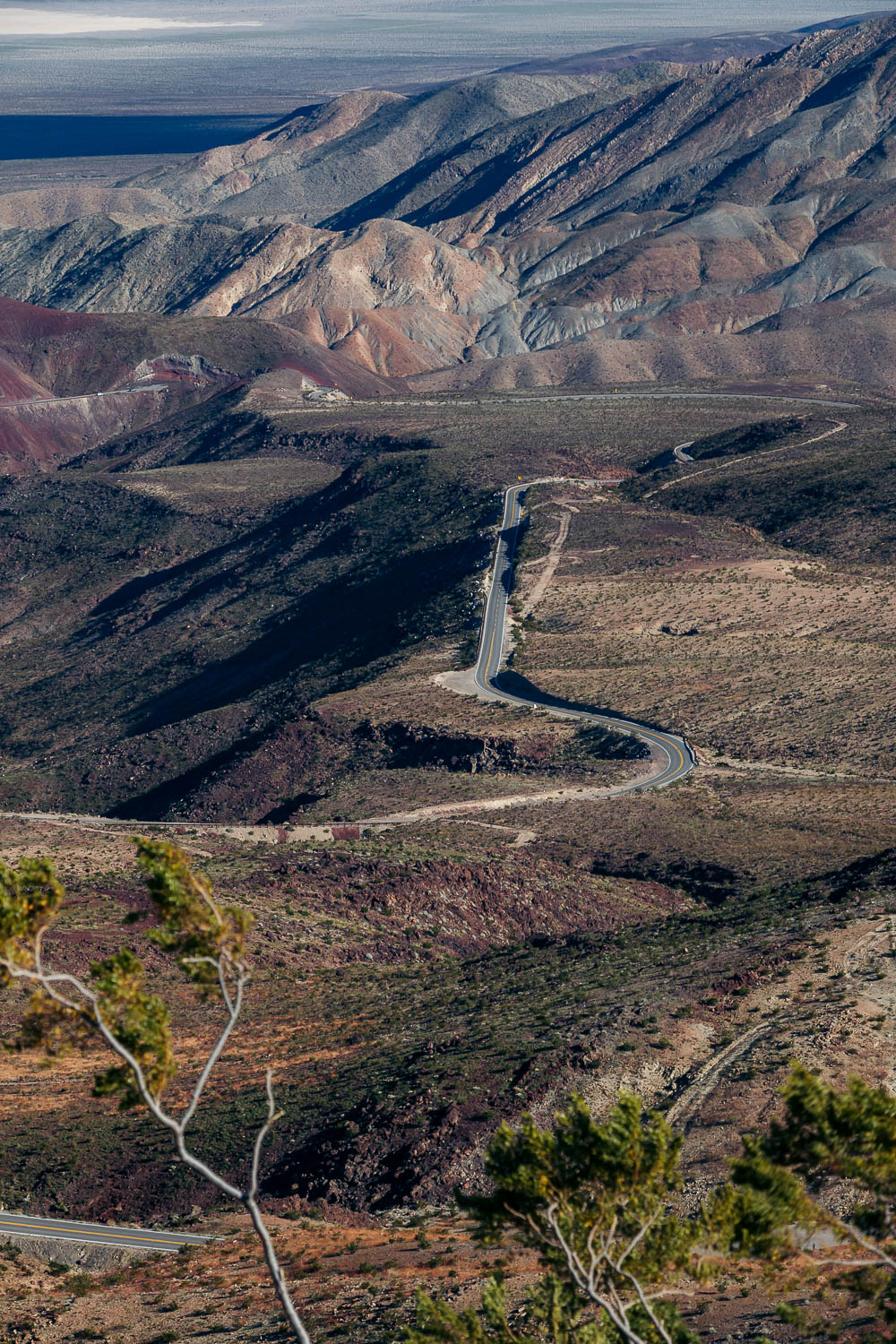
Father Crowley Vista Point is one of the easiest spots to admire pristine Rainbow Canyon from an eagle eye’s view. The vantage point was named after Father John J. Crowley, a catholic priest who often stopped here to feast his eyes on God’s creation after visiting parishioners in Death Valley.
We finished our two-day explorations in Death Valley National Park by admiring the vibrantly-painted canyon and the equally colorful Panamint Valley from Padre Point, nestled at the top of a 1/4-mile unpaved road from the vista parking lot.
Where to Stay in Death Valley
Since our second day in Death Valley National Park was cut short by the gusty winds and highly unfavorable weather, we had enough time to get back to LA that same day. Reluctantly we canceled our reservation at Olancha RV Park and Motel.
Yet before we hit the road again, we ate a freshly-made, warm meal at the hotel’s restaurant. Needless to say, it was the best dinner we had had in two days (2.5 days, technically) that we spent in the Death Valley area.
How to Spend 2 Days in Death Valley: Map
Things to Know before Spending 2 Days in Death Valley National Park
Get Your Grocery Beforehand
Make sure to do grocery shopping before you enter the isolated Death Valley area. Places to eat or shop in the desert are numbered. While Furnace Creek, Beatty, and several other hamlets nearby have a few restaurants and shops, their choices are limited.
Have a Hard Copy Map Handy
Death Valley National Park is one of the most deserted areas we’ve ever been to. Places to see and stay are scattered hours from each other. The connecting roads between them are scarce as well. If one of them is closed, and you happened to find out about it only while facing the “Road is Closed” sign, you can count only on one thing: a long detour.
A few roads from Beatty to the national park were closed. We were lucky to get to our airbnb from Death Valley without any delays on the first day. On our second day, while taking an alternative route offered by an offline map, we reached a barricaded park entrance.
Enlarging the screen map and connecting dots and lines here and there, we saw no other way around but to drive back to Beatty and take the only other road available. This detour caused us almost 2.5 hours of lost time.
Bring Plenty of Water, Sunscreen, and Layers of Clothes
Days in Death Valley National Park are hot even in winter. Early mornings, evenings, and nights are normally cold. So make sure to pack clothes for drastic changes in weather. On top of that, use a generous amount of sunscreen or wear long-sleeves, long-pants clothes to protect your skin from the excessive sun.
